Tracking Gliders, Airplanes, Helicopters and Baloons, Part 3 – FLARM
We already know how to track airplanes using DVB-T USB dongle and Orange Pi or Raspberry Pi. Let’s move on to a new system that allows tracking of light aircrafts:
- Gliders
- Helicopters
- Baloons
- Smaller airplanes
===

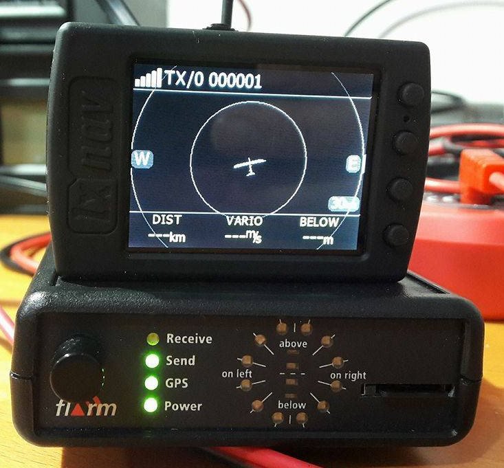
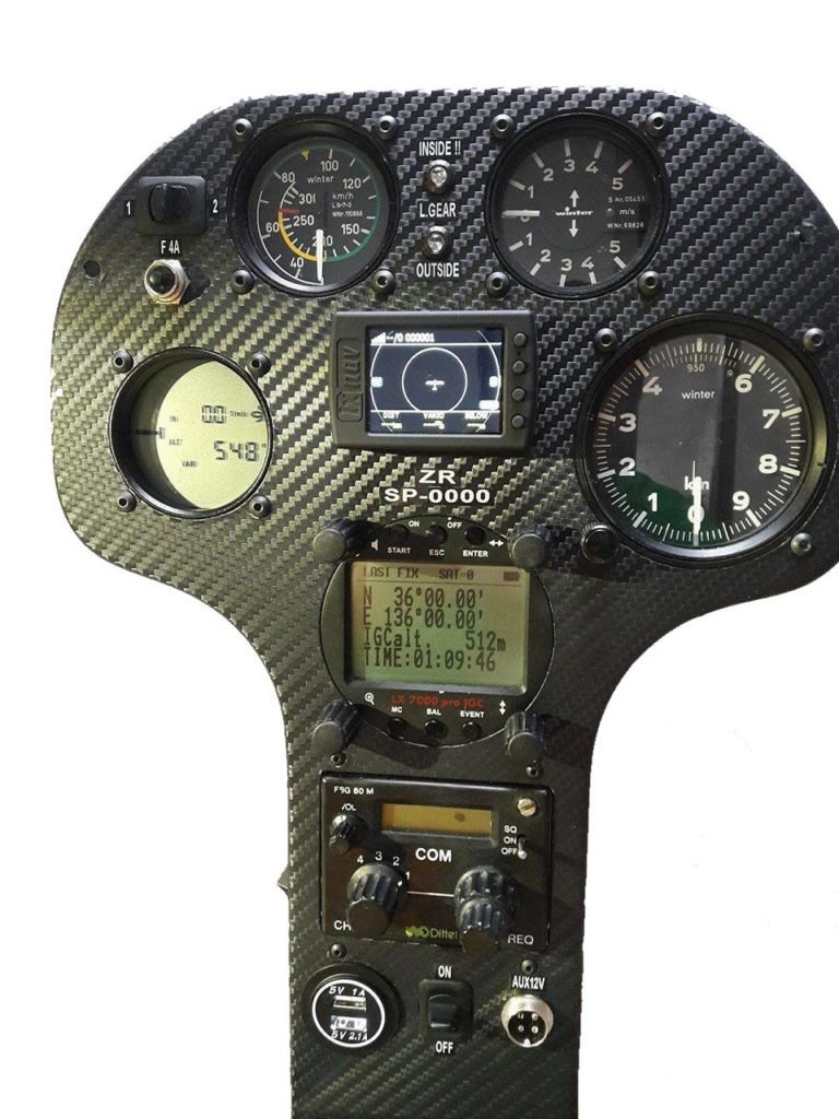
LARM – is a collision avoidance system for light aircrafts, popularized and approved by EASA, gaining traction, used mainly on gliders in Poland and Europe. We’re not going to use it to avoid collision – but to receive position and track light aircrafts – so we can share them on the OGN procest’s map – OPEN GLIDER. There are few station in Poland – let’s build a more robust network, so that gliders can be safer and their records – recorded.
What will you need?
Hardware:
- Orange Pi Zero or RPI Zero W” rel=”noopener” target=”_blank”>Raspberry Pi Zero W
- DVB-T USB Dongle. Look for the upgraded version in blue chassis – AKA “DVB-T RTL2832U+R820T2” – it offeres better sensitivity in interesting frequency – and will give you extra range. The most important part in that equation is the new R820T2 (version ‘2’) and of course the included antenna
- Micro SD – could a cheap 8G for $4, but better is to use Sandisk Extreme/Ultra – at least 4GB
- Power supply – at least 1.5 to 2A @5V with micro USB (i.e.: old charger from cellphone)
- Two small heatsinks (radiators) for CPU and controller – for Orange Pi Zero
- ALTERNATIVE: Raspberry Pi 2 or 3 – they have enough of CPU power, but triple the price
- Antenna 868MHz. The one you got with USB dongle is OK for start – gives me around 50km of range without any modification. You can cut it to the lenght of single segment
Software:
- Armbian for Orange Pi – the best at this point is to use the Xenial NIghtly, developer/beta version, with 4.9.x kernel from https://www.armbian.com/orange-pi-zero/
- ogn-decode i ogn-rf – software to be downloaded – ARM CPU version
- Free ports on the Orange Pi/Raspberry Pi – 8080 and 8081 – if there’s nothing else there installed – they should be free to use.

Installation
First – if not installed already – we need SDR and some system libraries as well as binaries from glidernet.org:
cd /home/pi
sudo apt-get update && sudo apt-get upgrade
sudo apt-get install rtl-sdr
sudo apt-get install libconfig-dev fftw3-dev libjpeg-dev libconfig9 libjpeg8
To allow usage of the raw feed from airplanes we need to turn off the automatic loading of the DVB-T:
nano /etc/modprobe.d/rtl-sdr-blacklist.confpaste:
blacklist dvb_usb_rtl28xxu
blacklist e4000
blacklist rtl2832
blacklist r820t
blacklist rtl2830
blacklist dvb_usb_rtl28xxu
blacklist dvb_usb_rtl2832u
Reboot the Orange Pi/Raspberry Pi
Now, lets download from glidernet.org the correct file, unpack it:
wget http://download.glidernet.org/arm/rtlsdr-ogn-bin-ARM-latest.tgz
tar xvzf rtlsdr-ogn-bin-ARM-latest.tgz
Create a FIFO to allow communication between both parts of the OGN software:
cd rtlsdr-ogn
mkfifo ogn-rf.fifo
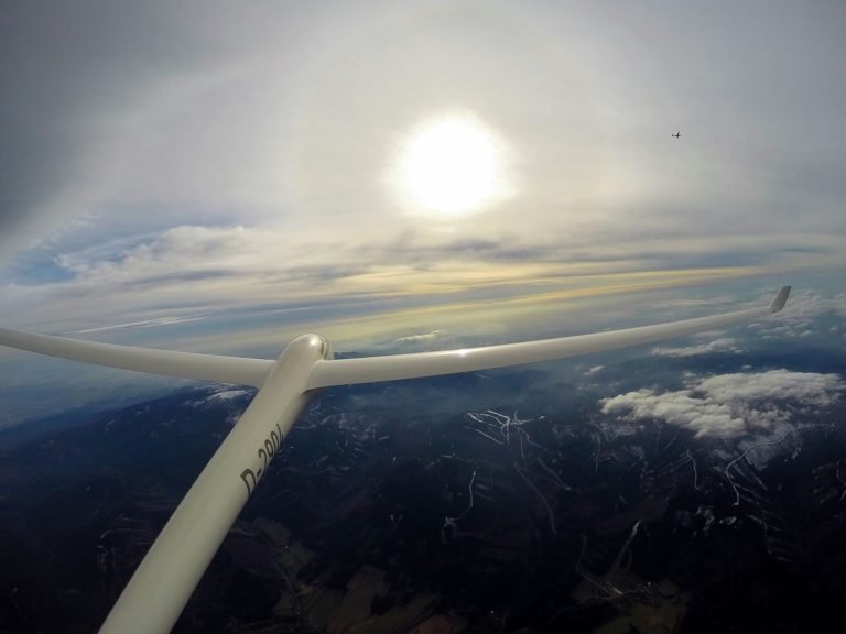
(photo: Stanisław Lampart)
Next, calibration of the USB dongle – cheap DVB-T USB tuners are not always good at tuning with high precision to given frequency – we need to correct the skew. To do that use the gsm_scan, that will give the ppm and gain correction values:
cd rtlsdr-ogn
./gsm_scan --ppm 50 --gain 20
Change values so that the deviation is around 10ppm (check the best GSM frequency GSM) – write them down.
Create own configuration based on the example:
cp Template.conf EPXX_OGN.conf
nano EPXX_OGN.conf
The example file contents based on my tuner: enter CORRECT values for FreqCorr, GSM: CenterFreq Gain – based on gsm_scan:
RF:
{
  FreqCorr = +87.060;          # [ppm]      "big" R820T sticks have 40-80ppm correction factors, measure it with gsm_scan

  GSM:                     # for frequency calibration based on GSM signals
  { CenterFreq  = 938.4;   # [MHz] find the best GSM frequency with gsm_scan
    Gain        =  25.0;   # [dB]  RF input gain (beware that GSM signals are very strong !)
  } ;
} ;

Position:
{ Latitude   =   +51.1514; # [deg] Antenna coordinates
  Longitude  =   +18.4642; # [deg]
  Altitude   =        150; # [m]   Altitude above sea leavel
  GeoidSepar =         48; # [m]   Geoid separation: FLARM transmits GPS altitude, APRS uses means Sea level altitude
} ;

APRS:
{ Call = "EPXX1";     # APRS callsign (max. 9 characters)
                                       # Please refer to http://wiki.glidernet.org/receiver-naming-convention
} ;
Finally – start in background two programs using very basic (or other by your choosing method) thanks to cron:
Create two files:
cd /home/pi
nano /home/pi/rtlsdr-ogn/run_ogn-rf
with:
#!/bin/bash
cd /home/pi/rtlsdr-ogn
/home/pi/rtlsdr-ogn/ogn-rf /home/pi/rtlsdr-ogn/EPXX_OGN.conf
Add rights to execute:
chmod 755 /home/pi/rtlsdr-ogn/run_ogn-rfSecond file:
nano /home/pi/rtlsdr-ogn/run_ogn-decodewith:
#!/bin/bash
cd /home/pi/rtlsdr-ogn
/home/pi/rtlsdr-ogn/ogn-decode /home/pi/rtlsdr-ogn/EPXX_OGN.conf
Add rights to execute:
chmod 755 /home/pi/rtlsdr-ogn/run_ogn-decodeNow edit your crontab:
crontab -ePaste:
*/5 * * * * if [ `pgrep ogn-rf | tr '\n' ' '| awk '{print $1}'` ]; then echo "ogn-rf dziala"; else screen -dmS ognrf /home/pi/rtlsdr-ogn/run_ogn-rf; fi > /tmp/ognrf.log 2>&1
*/5 * * * * if [ `pgrep ogn-decode | tr '\n' ' '| awk '{print $1}'` ]; then echo "ogn-decode dziala"; else screen -dmS ogndecode /home/pi/rtlsdr-ogn/run_ogn-decode; fi > /tmp/ogndecode.log 2>&1
Of course in our example we’re using username “pi”.
Verify the operation by attaching screen: screecn -r XXX, or enter the URLs in we browsers: http://ADDRESS_OF_PI:8080/ oraz http://ADDRESS_OF_PI:8081/. Your station will be listed at: http://ognrange.onglide.com/, along with the range. Since FLARM changes – check every 6 months for new version.
That’s it!

(zdj. Stanisław Lampart)

This work is licensed under a Creative Commons Attribution-NonCommercial-NoDerivatives 4.0 International License (c) 2014-2024 Łukasz C. Jokiel, [CC BY-NC-SA 4.0 DEED](https://creativecommons.org/licenses/by-nc-sa/4.0/)